I rolled into Fresno on a scorching July afternoon, the kind of heat that makes you question your life choices before you've even found a hotel. Don't get me wrong—the city has its merits, real food culture, and the kind of community fabric you don't find in coastal tourism zones. But after a couple of days navigating the strip malls and adjusting to the inland summer, I understood why locals have a well-worn list of escapes.
Turns out, Fresno's real superpower isn't what's inside the city limits. It's the pull-tab location on the California map: close enough to genuine mountains, sequoias, alpine lakes, and Sierra foothills to make a full day trip without requiring you to wake up at 4 a.m. I spent a week plotting these routes, and here's what actually works when you've got one good day and a full tank.
Sequoia National Park (About 75 minutes to the entrance)
This is the obvious one, and there's a reason. You're looking at roughly 90 minutes from downtown Fresno to the Ash Mountain entrance, less if you know the back roads and traffic isn't conspiring against you. The drive itself winds through the Sierra Nevada foothills, gets prettier as you climb, and by the time you hit the park boundary, you've already left the valley heat behind.
The Congress Trail loop near General Sherman is the main draw—it's a fairly gentle 2-mile walk that puts you face-to-face with the largest tree on Earth. Seeing a living thing that massive, knowing it's been standing since before Rome, does something to your perspective. If you're not feeling ambitious, just drive the Crescent Meadow Road and pull off for viewpoints. The Moro Rock staircase is steep but short, maybe 350 steps, and rewards you with genuine alpine vistas. Spring and early fall are ideal; summer crowds get gnarly, and winter roads close regularly.
Realistic timing: Five hours minimum from your Fresno hotel, more if you want to actually absorb what you're looking at. Pack water, snacks, and sunscreen. Cell service is spotty. Don't show up assuming you'll figure it out as you go.
Kings Canyon National Park (About 90 minutes to Cedar Grove)
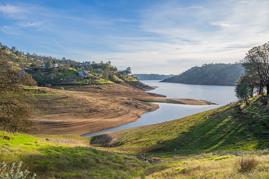
If Sequoia feels too organized or crowded, Kings Canyon is the sibling that gets overlooked. The Highway 180 approach is genuinely scenic—you're dropping into a massive granite canyon, and the road hugs the Kings River as it narrows. Cedar Grove, at the end of the road, is smaller and quieter than most of Sequoia's developed areas.
The Moro Rock Trail and Roaring River Falls are solid options if you want a modest hike. Honestly, though, sometimes the best move is just pulling off at overlooks and sitting. The canyon walls are vertical in a way that photographs don't quite capture. There's a visitor center where staff actually have time to talk to you, unlike the busier parks. The road closes in winter, so confirm access before driving out. Late September through November is when you get the light without the summer traffic.
Visalia and the Kaweah Oaks Preserve (About 45 minutes)
Visalia's closer, smaller, and does something different than mountain scenery. It's a real town—courthouse square with local coffee shops, actual restaurants that aren't chains, and a downtown that feels like a place where people actually live rather than a tourist set piece.
The Kaweah Oaks Preserve, just outside town, is a riparian habitat walk that's mellow and good for a couple of hours if you don't want to commit to a full mountain day. The Visalia area also puts you close to the southern entrance of Sequoia if you decide to upgrade partway through your day. The town itself has some decent history if you're into that—the Tulare County Museum gives legitimate local context without being hokey about it. Spring wildflower season is genuinely worth timing your visit around.
Pinnacles National Park (About 90 minutes northwest)
This one's less obvious, which means fewer people and often better light for photography. Pinnacles is weird in the best way—volcanic rock formations that feel more like Arizona than Northern California, trails through talus caves, and a population of California condors that locals are oddly proud of.
The Bear Gulch Trail and Reservoir hike is popular and deservedly so. The West Side trails are quieter if you're feeling antisocial. The geology of this place is genuinely interesting without requiring a geology degree to appreciate. The Chaparral environment means it's brutal in peak summer, so late March through May or October through November are your windows. Bring plenty of water regardless. There's a visitors center, but Pinnacles lacks the infrastructure of the big national parks—no food, no lodging, minimal cell service. Plan accordingly.
Oakhurst and Bass Lake (About 60 minutes north)
If you want water and trees without the commitment of a high Sierra drive, Bass Lake is the move. Oakhurst is a real mountain town—not gentrified into unrecognizability, not a ghost town. It's got character and actual residents. The lake itself is pleasant for swimming if that appeals to you, or you can just sit on a beach and exist for an hour.
There are a few hiking options around the lake, ranging from the trivial to moderately ambitious. Chilnualna Falls is the marquee hike if you're willing to drive a bit further to Wawona (that's entering Yosemite territory and not quite a full day trip from Fresno without serious commitment). Bass Lake is better as a half-day plus town wandering. Summer is fine here, unlike Sequoia, and you'll actually see people enjoying themselves instead of just checking boxes. Fall colors around the Sierra foothills are subtle but real, and fewer people means better parking.
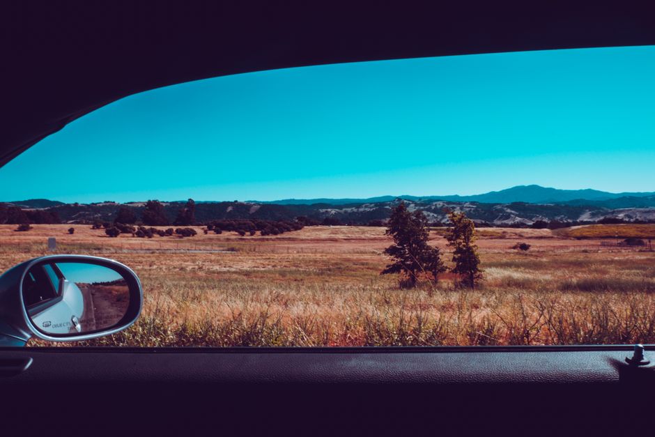
The Mono Basin and Mammoth (About 2.5 hours—pushing it, but doable)
This is the outlier on the list, genuinely a full-day commitment, but if you've got clear weather and time, it's worth considering. Mammoth Mountain puts you in alpine territory—10,000-plus feet, which means the air feels different, the light is clearer, and you've genuinely left the valley behind. The Mono Lake basin has unusual beauty that catches people off guard—high desert, bizarre tufa towers, a salt lake that's being restored to something closer to its historical state.
If you're going this far, pick one focus: either Mammoth Lakes proper with the town, the lakes, and potential hiking, or the Mono Basin scenic area with the lake viewpoints and geology. Combining them means you're basically driving the whole time. Highway 395 is a classic American drive—long, empty, and hypnotic. Winter makes this impossible without chains. Early summer through September is your window. This really only works if you're comfortable with a 5+ hour day.
Practical Notes for Fresno Day Trips
Fresno's location is genuinely useful if you treat it that way. Most of these drives are on mountain roads that are slower than highway speeds, so don't overestimate how far you can go. Fuel up in Fresno before heading out—small mountain towns have limited options and sometimes run out. Cell service varies wildly, and it's not uncommon to lose it entirely once you climb elevation.
The best travel months are April-May and September-October. Summer is hot below, crowded up high, and increasingly plagued by smoke if fire season is bad. Winter is beautiful but unpredictable—roads close without warning, and you can't count on clear conditions. Spring wildflowers are genuinely worth timing around if that interests you.
Bring water you didn't think you'd need, sunscreen, and comfortable shoes. Elevation changes matter—what feels fine at sea level can affect you at 7,000 feet. The valley itself is hot enough that the cool of the mountains feels medicinal, which is probably the real reason these trips work so well from Fresno. You're not just changing scenery; you're actually resetting your body temperature.