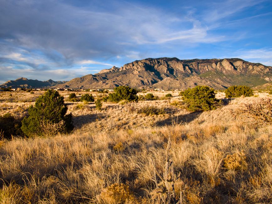
I rolled into Albuquerque on a Tuesday afternoon with one of those open-ended itineraries—just enough time to figure out what was worth seeing beyond the city limits. The thing about ABQ is that it sits in the middle of genuinely interesting country, and a car opens up possibilities that feel nothing like tourist traps. Within an hour or two in any direction, there's something real to look at: cliff dwellings, badlands, hot springs, a whole other city perched at 7,000 feet. I spent a week testing the routes, and here's what actually made the cut.
The drive times below are from central Albuquerque, assuming normal traffic. Seasons matter here more than you might expect—summer heat can be brutal in the lower elevations, winter closes some high-altitude roads, and spring brings wind that'll rattle your car door. I've noted the best times for each.
Bandelier National Monument (45 minutes)
Bandelier is the easiest sell for a short day trip, and it deserves the reputation. You're looking at roughly 45 minutes from downtown ABQ heading north on I-25, then west toward Los Alamos. The monument itself centers on Frijoles Canyon, where you can walk among actual ancestral Puebloan dwellings built into the canyon walls. Some have been hollowed out; you can duck into them. The main loop trail is about 1.4 miles and mostly flat, though it gets crowded in peak season.
The real magic isn't the hike itself but the intimacy of it. You're not observing ruins from a distance; you're literally walking past homes people lived in 600 years ago. The canyon narrows as you go deeper, and the rock walls close in. If you want less company, hit the Tsankawi site (a separate parking area, 10 miles north) for petroglyphs and unobstructed views across the plateau.
Best time: April through October, though October avoids the summer crowds and heat. Summer afternoons can exceed 80 degrees even at this elevation. Arrive early—the parking lot fills by 10 a.m. on weekends. There's an entrance fee, and the roads get icy in winter, sometimes closing access entirely.
Kasha-Katuwe Tent Rocks National Monument (1 hour)
This one surprised me. Most people skip it, but Kasha-Katuwe, about an hour northwest, is worth the detour. The landscape is almost Mars-like: cone-shaped rock formations in shades of pink and orange, eroded badlands, and a sense of isolation you won't find at busier parks. There are two trails—a short 0.75-mile walk to a viewpoint and a longer 2.4-mile loop that climbs into the tent rocks themselves.
The Cone Trail, which is the main event, switchbacks upward through narrow canyon washes and opens onto views that stretch across several counties. On clear days you can see the Jemez Range and the Rio Grande valley spreading out below. The geology here is young by canyon standards—the rocks are pumice and ash from volcanic eruptions only a few million years ago.
Best time: September through November, or March through May. Summer temperatures climb past 90 degrees on the exposed trail with almost no shade. Winters are mild at this elevation, but check conditions beforehand. The park has minimal facilities, so bring water.
Bisti/De-Na-Zin Wilderness (1.5 hours)
Drive south and west toward the San Juan Basin and you'll hit something that looks like you've left Earth entirely. Bisti is badlands country—hoodoos, arches, exposed layers of rock in rust and gray and cream. It's about 90 minutes southwest of ABQ, roughly two hours if you factor in getting through town. There's no official entrance or fee, and that's part of the appeal. You just park at the trailhead and walk into the landscape.
I went at sunset, which might have been the best decision I made all trip. The light hits those rock formations and the whole place glows orange and purple. The hiking is easy—it's open country with no defined trails, so you just wander. That freedom is intoxicating and also slightly disorienting. Download an offline map, mark the trailhead coordinates, and don't wander too far without checking your bearings. People get lost here.
Best time: October through April. Summer temperatures regularly exceed 100 degrees in this exposed landscape. Winter is cool but manageable. Spring brings wind that can be punishing. If you go in the golden hour before sunset, bring lights because the hike out in near-darkness isn't ideal. The solitude is real here in a way it isn't at monument entrances.
Santa Fe (1 hour 15 minutes)
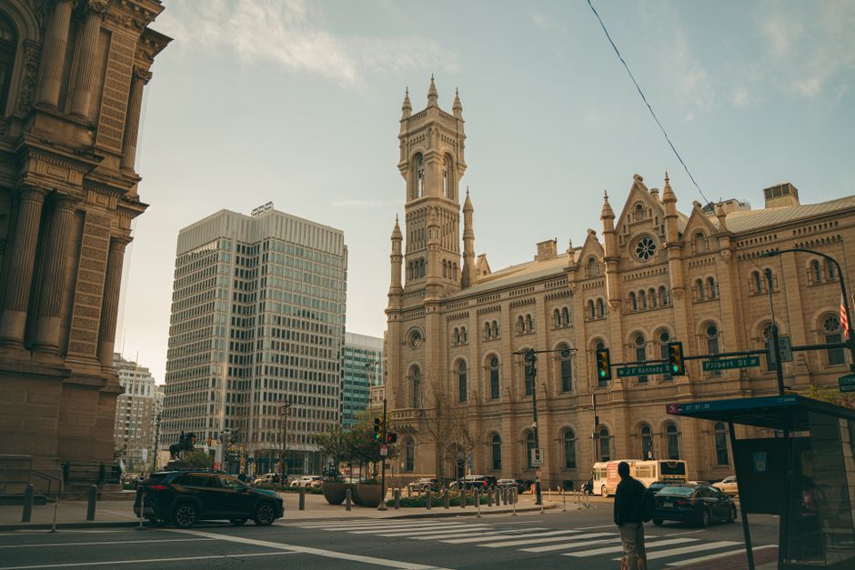
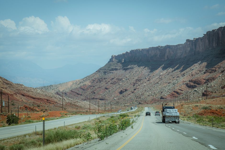
I almost didn't include this because Santa Fe feels like a destination in itself, not a day trip. But it's close enough that you can absolutely do it in a day from ABQ—drive straight north on I-25, and you're in the plaza in about 75 minutes. The town is at 7,000 feet, and the temperature drop is noticeable. It's visibly older and more established than Albuquerque, with a cohesive architectural style that feels intentional rather than accumulated.
The Plaza is the center. It's surrounded by galleries, restaurants, and souvenir shops, with the Cathedral Basilica on one side and the Palace of the Governors on another. The Georgia O'Keeffe Museum is worth a visit if you care about that painter's work. Meow Wolf, a sprawling interactive art installation in an old National Guard building, is the kind of place where you either find it brilliant or exhausting. Most galleries cluster around Canyon Road, a north-running street lined with studios and small museums.
Food is legitimately good here. Get red or green chile with basically anything. The local favorite is posole during winter. The vibe is gentrified and aware of it, but it's also genuine in a way that tourist towns sometimes manage. Stay through dinner and drive back in the dark—the high desert at night is beautiful.
Best time: September through October or April through May. Summer gets crowded and hot. Winter is cold and occasionally snowy, but the light is clear and spectacular.
Jemez Hot Springs and Valles Caldera (1 hour 45 minutes)
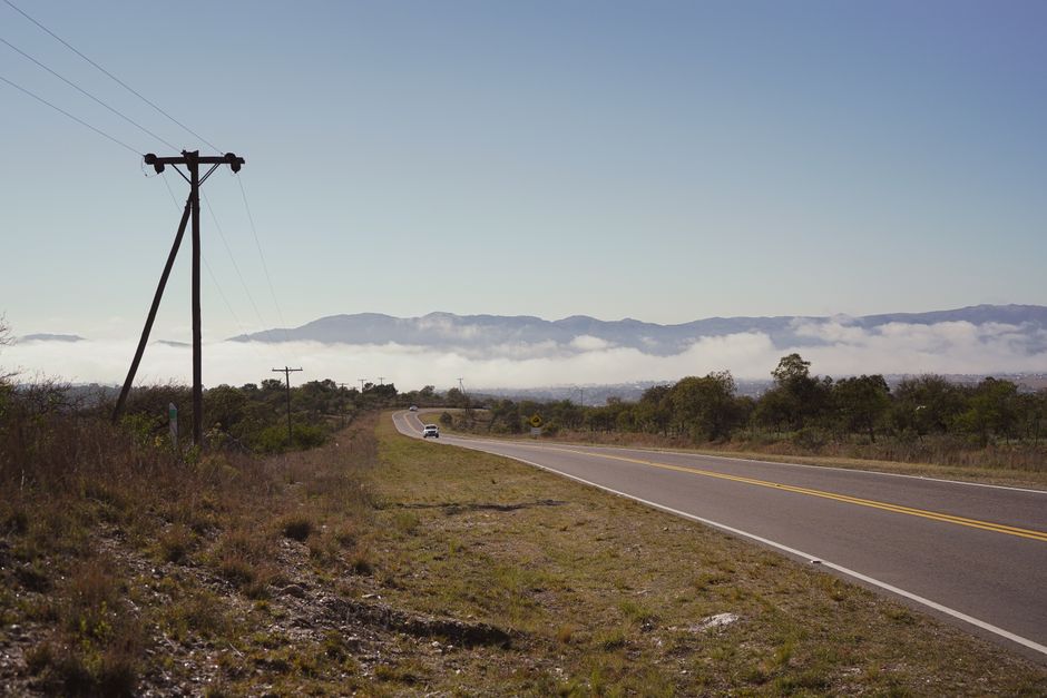
Northwest of ABQ, roughly 100 minutes depending on where you're headed, is the Jemez region—a volcanic plateau with hot springs and hiking. The drive itself is worth it, climbing through ponderosa pine forest and into mountain air. Start in the town of Jemez Springs proper, where you can soak in developed hot springs (there are several, and quality varies; ask locally). Some are free and natural, others are in small resorts and charge admission. The water is genuinely hot, and soaking in a river-fed pool in the mountains beats anything on a schedule.
Continue further and you reach Valles Caldera, a massive caldera (volcanic crater) now managed as a national preserve. There are hiking trails of varying lengths, and the landscape flattens into high-elevation meadows surrounded by mountains. It's a different world than the basin below. The preserve charges a small fee, and hours vary seasonally.
Best time: May through September. The high elevation means the caldera area gets snow in winter that can close roads. Spring is muddy and windy. Summer afternoons occasionally get thunderstorms, but generally the weather is stable. The hot springs are pleasant year-round, though soaking outdoors in winter requires commitment.
Logistics and What to Actually Pack
All of these places are accesible with a regular sedan, though rough roads at Bisti and Tsankawi benefit from higher clearance. Get gas before leaving Albuquerque for anything beyond Santa Fe or Kasha-Katuwe. Cell service is spotty outside the city, so download offline maps. Elevation changes here are significant—you might start at 5,000 feet and end at 8,000. Bring water regardless of the season. Sunscreen matters even in winter at these elevations.
Most places have limited or no services—no food vendors, limited bathrooms. Pack snacks and expect to spend money on entrance fees if you're hitting monuments. Some roads require high-clearance vehicles or close seasonally; check ahead with the National Park Service or local ranger stations before driving somewhere obscure.
The roads between these places are generally good, but take them at a reasonable speed. You'll see wildlife—mule deer, coyotes, the occasional bear sign. Respect that. And don't assume your phone GPS is reliable in canyons or remote areas. Paper maps aren't completely obsolete yet.
The Real Question: Which One Should You Actually Do?
If you have just a few hours and want something concrete to show for it, Bandelier is the obvious answer. It's reliable, well-marked, and delivers exactly what you expect. If you want something weirder and don't mind empty parking lots and the possibility of getting slightly lost, Bisti is your place. Kasha-Katuwe splits the difference—it's accessible but feels less visited. Santa Fe works if you want to spend a full day in a real city rather than hiking. Jemez is the choice if you want to combine different experiences—landscape, soaking, forested driving—into one outing.
I took something different away from each place. Bandelier felt historical and immediate. Bisti felt alien and exposed. Kasha-Katuwe gave me solitude without the full commitment of backcountry travel. Santa Fe reminded me that Albuquerque is the scrappier cousin of a more polished place. Jemez was just peaceful. The real lesson is that you're not trapped in ABQ—you're positioned in the middle of country with actual variety, and none of it is far away. Pick a direction and go.