Vermont’s Highest Point: The Quick Answer
Revealing the highest point in Vermont and its worth the visit starts with one name: Mount Mansfield. Standing at 4,393 feet above sea level, it is the tallest peak in the Green Mountain State and one of the most rewarding natural landmarks in all of New England. Whether you are a seasoned hiker or a curious traveler, this mountain delivers an experience that is hard to match anywhere in the region.
Table of Contents
- Key Takeaways
- Mount Mansfield is Vermont’s highest point at 4,393 feet, located near Stowe.
- The summit offers sweeping views of Vermont, New Hampshire, New York, and even Canada on a clear day.
- Multiple trails and a toll road make the summit accessible to various skill levels.
- The mountain hosts rare alpine tundra ecosystems found in very few places in the northeastern United States.
- Visiting during fall foliage season transforms the experience into something truly unforgettable.
Where Exactly Is Mount Mansfield?
Mount Mansfield sits within Underhill and Stowe in Chittenden and Lamoille counties, roughly 35 miles east of Burlington. It is part of Mount Mansfield State Forest, which protects thousands of acres of natural land surrounding the peak. The town of Stowe, just a short drive from the trailheads, serves as the primary base for visitors.
The mountain’s distinctive ridgeline is famous for resembling a human face in profile when viewed from the east — with named features including the Forehead, Nose, Chin, and Adam’s Apple. The true summit sits at the Chin, which is the highest of these landmarks and the ultimate goal for most hikers.
How to Reach the Summit
One of the reasons revealing the highest point in Vermont and its worth the visit resonates so strongly with travelers is how accessible the summit actually is. You do not need to be an elite athlete to stand on top of Vermont’s tallest peak.
Popular Hiking Trails
- Long Trail via Stowe: The most classic route, this section of Vermont’s famous Long Trail offers a challenging but rewarding ascent with dramatic ridge walking near the top.
- Sunset Ridge Trail: Accessed from Underhill, this trail offers exposed ridge hiking with panoramic views as you approach the summit.
- Hell Brook Trail: Considered the most difficult option, this steep and rugged route is best suited for experienced hikers seeking a challenge.
- Laura Cowles Trail: A shorter, less exposed alternative that connects with Sunset Ridge near the top.
The Mount Mansfield Toll Road
For those who prefer not to hike the full distance, the Mount Mansfield Toll Road offers a drivable route that reaches the Nose at approximately 4,062 feet. From there, a short hike takes you to the true summit at the Chin. This option is particularly popular with families, older visitors, and those with limited mobility who still want to experience the breathtaking views at the top.
The Gondola Option at Stowe Mountain Resort
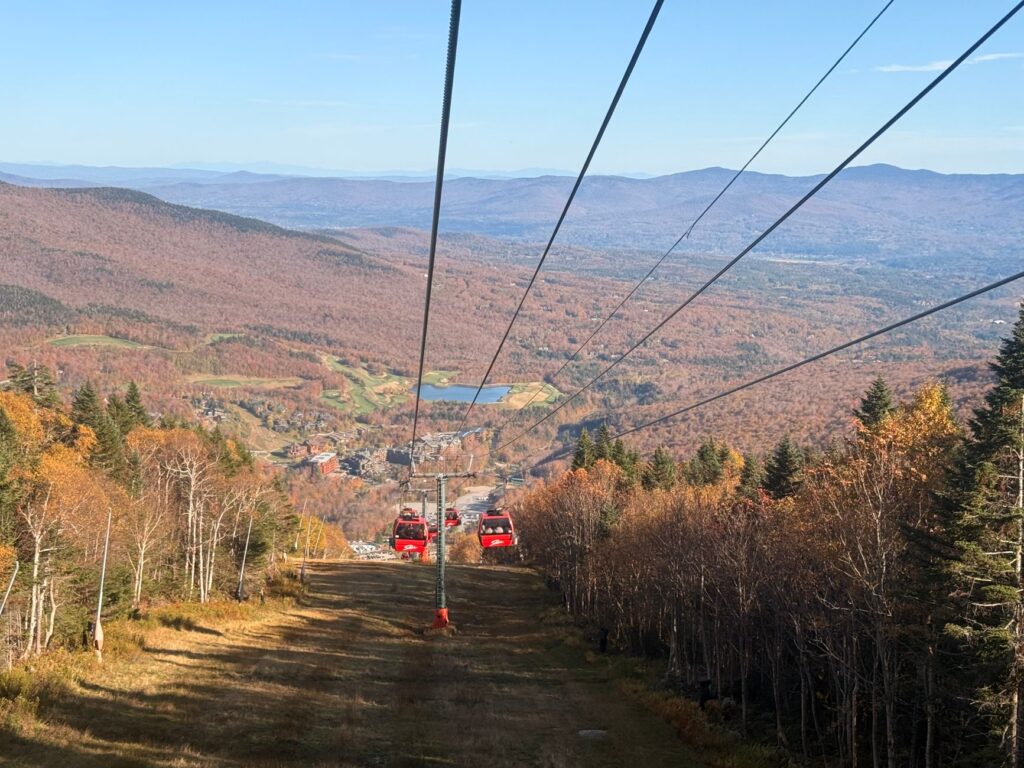
During the warmer months, Stowe Mountain Resort operates a gondola that lifts visitors to a high elevation point near the summit ridge. Once at the top, a marked trail leads to the Chin. This is one of the most scenic and effortless ways to get close to the summit without a full-day hike.
What Makes the Summit Truly Special
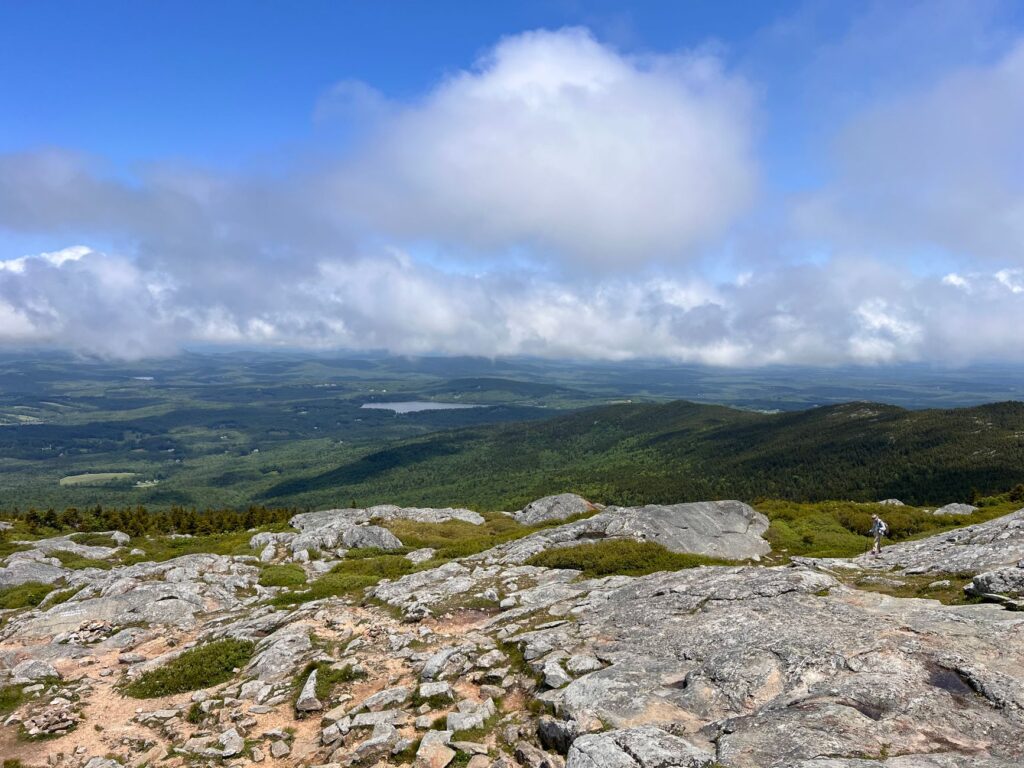
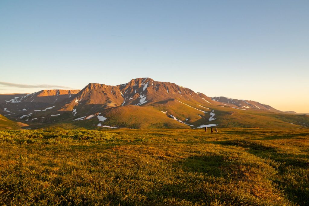
The summit of Mount Mansfield is not just a high place — it is a genuinely unique environment. The upper elevations host one of the few alpine tundra ecosystems in the northeastern United States. These fragile habitats contain plant species normally found only in the Arctic, including dwarf willows, Bigelow’s sedge, and various mosses and lichens adapted to harsh, windswept conditions.
Because of this ecological rarity, visitors are strongly encouraged to stay on marked trails and rocks near the summit. A single step off the path can damage plants that take decades to recover. Interpretive signs along the summit ridge explain the importance of the ecosystem and help visitors understand what they are looking at.
The Views From the Top
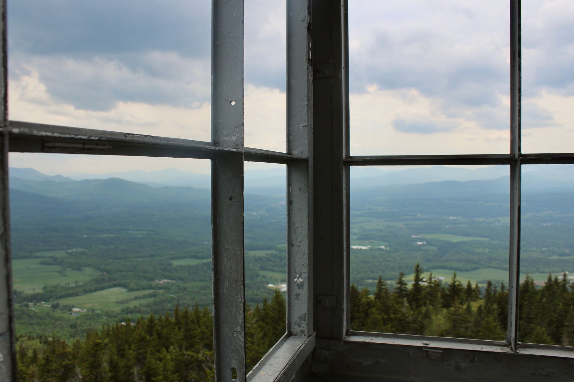
On a clear day, the views from the Chin of Mount Mansfield are nothing short of extraordinary. You can see across the Champlain Valley to the west, with Lake Champlain shimmering in the distance and the Adirondack Mountains of New York rising beyond it. To the east, the White Mountains of New Hampshire dominate the skyline. On exceptionally clear days, the skyline of Montreal in Canada becomes visible to the north.
The 360-degree panorama from the summit is one of the finest in all of New England, comparable in scope to the views hikers enjoy when revealing the highest point in Maine and its worth the visit — both experiences deliver that rare combination of effort and reward that defines great mountain summits.
Best Times to Visit Mount Mansfield
Mount Mansfield is a year-round destination, but each season offers a very different experience. Understanding when to go can make the difference between a magical trip and a frustrating one.
Summer (June through August)
Summer is the most popular season for hiking, with long daylight hours, generally warm temperatures at lower elevations, and all facilities open. Be aware that afternoon thunderstorms are common, so an early morning start is strongly recommended. Temperatures at the summit can be 20 to 30 degrees cooler than in the valley below, so layering is essential.
Fall Foliage Season (Late September to Mid-October)
This is widely considered the finest time to visit. Vermont’s fall foliage is legendary, and viewing it from the summit of Mount Mansfield is a once-in-a-lifetime visual experience. The surrounding valleys erupt in shades of crimson, orange, and gold. Trails and the toll road can be crowded during peak weekends, so weekday visits or early morning arrivals are wise.
Winter and Spring
Winter hiking and snowshoeing on Mount Mansfield are possible but require significant experience and proper equipment. The summit experiences severe cold, ice, and high winds. Spring (known locally as “mud season”) typically renders trails wet and damaged; most hikers wait until late May or early June before heading up.
What to Bring and How to Prepare
Proper preparation is essential for a safe and enjoyable visit to Vermont’s highest peak. Even in summer, conditions near the summit can be demanding.
- Layered clothing: A windproof and waterproof outer layer is non-negotiable, regardless of the forecast in the valley.
- Sturdy footwear: Trail running shoes work for experienced hikers; hiking boots with ankle support are better for most visitors.
- Water and food: Carry more water than you think you need. There are no reliable water sources on the upper sections of most trails.
- Navigation tools: Download offline maps or carry a paper trail map. Cell service near the summit is unreliable.
- Sun protection: At elevation, UV exposure increases significantly, especially on clear days above tree line.
- Leave No Trace principles: Pack out all trash and stay on designated paths near the sensitive alpine tundra zone.
Exploring the Surrounding Area
The town of Stowe is one of Vermont’s most charming destinations, with excellent restaurants, local shops, craft breweries, and cultural attractions. The nearby Stowe Recreation Path is a beloved paved trail along the West Branch River, perfect for cycling or a casual walk when you want a break from elevation gain.
Vermont itself rewards slow exploration. From Burlington’s vibrant waterfront to the rolling farmland of the Northeast Kingdom, the state offers a richness of natural and community-driven experiences that keep visitors returning year after year. The Mount Mansfield area is simply the crown jewel of that broader landscape.
Frequently Asked Questions
What is the highest point in Vermont?
The highest point in Vermont is Mount Mansfield, which reaches 4,393 feet above sea level at its summit, known as the Chin. It is located near the town of Stowe in northern Vermont and is part of Mount Mansfield State Forest.
Is Mount Mansfield worth visiting for non-hikers?
Yes, absolutely. The Mount Mansfield Toll Road allows visitors to drive close to the summit without hiking, and the Stowe Mountain Resort gondola provides another non-strenuous option. Both routes offer access to spectacular views and the rare alpine tundra environment near the top.
How long does it take to hike to the summit of Mount Mansfield?
Most popular trails take between three and five hours round trip for an averagely fit adult, depending on the route chosen. The Hell Brook Trail is the steepest and most demanding, while Sunset Ridge and the Long Trail offer more moderate pacing with excellent scenery throughout.
When is the best time of year to visit Mount Mansfield?
Late September to mid-October is widely regarded as the best time, when Vermont's fall foliage is at its peak and the mountain's views are extraordinary. Summer is also excellent for hiking, though afternoon thunderstorms are common and an early start is recommended.
Are dogs allowed on Mount Mansfield trails?
Dogs are generally permitted on the hiking trails of Mount Mansfield, but they must be kept on a leash near the sensitive alpine tundra zone at the summit to protect the fragile plant life. Check current regulations with Vermont State Parks before your visit, as rules can vary by season and trail.
Conclusion
Revealing the highest point in Vermont and its worth the visit is ultimately a story about nature, perseverance, and reward. Mount Mansfield at 4,393 feet delivers sweeping views, rare alpine ecosystems, and a sense of accomplishment that stays with you long after you leave. Whether you drive the toll road, ride the gondola, or earn every step on foot, the summit experience is genuinely worth the effort. Plan your visit thoughtfully, respect the fragile environment at the top, and you will leave with memories that define what New England mountain travel is all about.